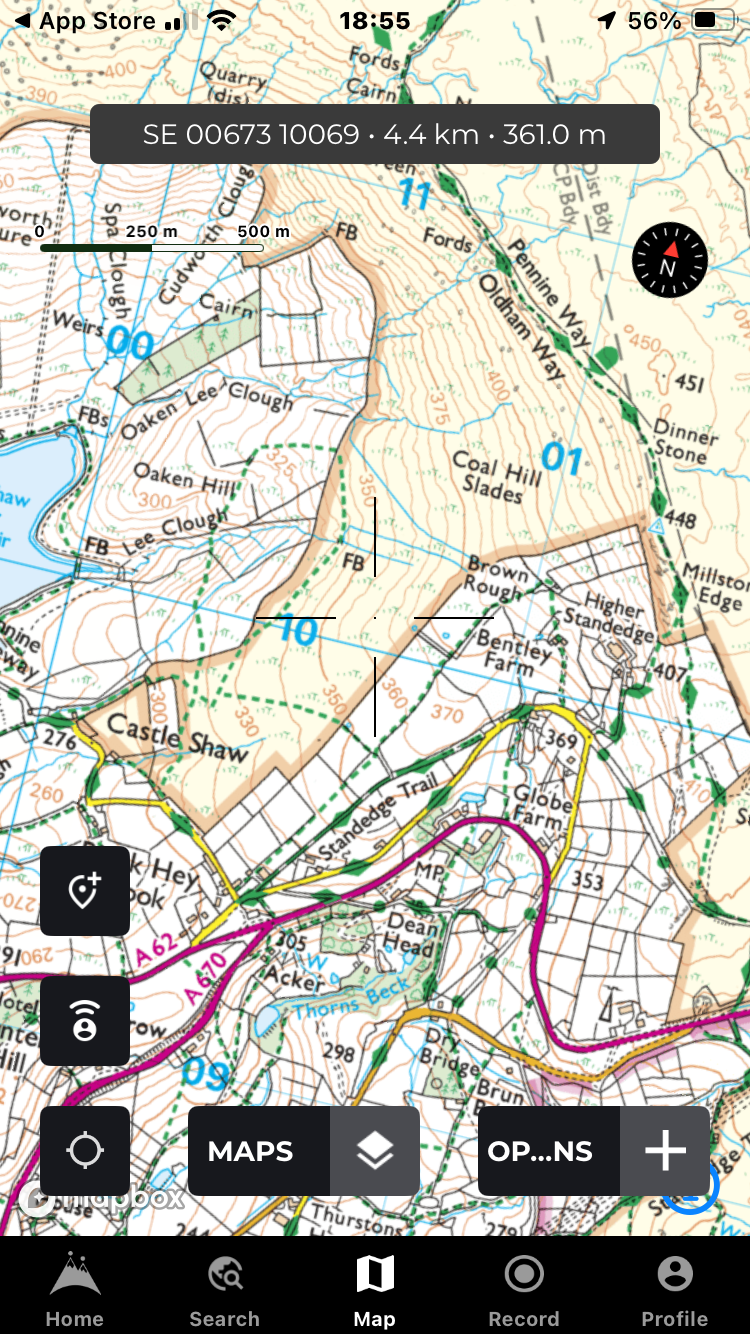
There seem to be many of you out there who are embracing again the art of navigating using map and compass techniques. We find that one of the hardest skills to master is the visualisation of the terrain around us using just contour information from the map.
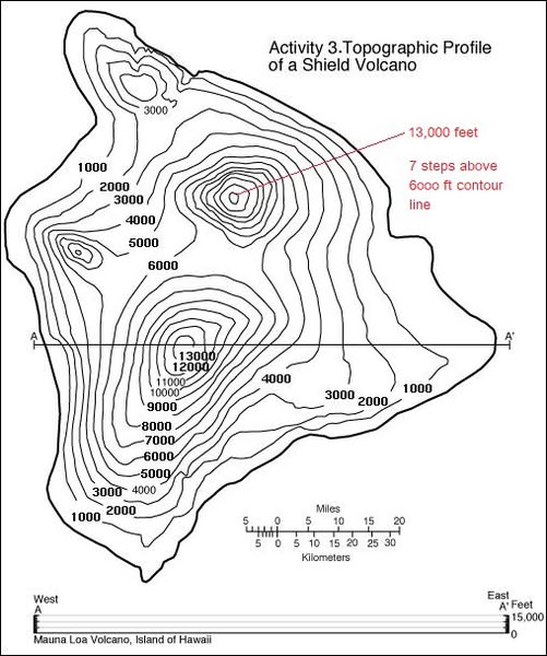
One trick that Si uses is to obtain (or pinch off the kids!) some Plasticine or equivalent to make a simple 3D model of a contour map. Here, he’s used a contour only representation of the Mauna Loa volcano on Hawaii and set himself 15 mins to sculpt a rough approximation of the topography.
If you have OS Maps, and a PC, you could zoom in on a chosen area of interest and try the same exercise. Then, in the 3D mapping mode, you can see how accurate your model is!
Top tips, start simple – maybe just a single prominence first. Then work up to more complex terrain featuring cols, spurs and re-entrants. Set a time limit but use the first couple of minutes for just looking at and understanding the 2D map first. Don’t overthink things – just a basic representation will do. Make sure you have a means to check what the contours actually look like in real life – as already mentioned, OS Maps has a 3D feature.
We’ve used digital mapping for many years now – in fact we started selling it at Mountainfeet in CD format back in 2002. There are now several companies marketing UK specific mapping software and apps, most of whom are licensed to offer the UK’s top quality Ordnance Survey topographic maps in 1:50,000 and 1:25,000 scales. This article offers information on a few that we use regularly and have faith in on the hill.
Naturally, we’d still recommend carrying a paper map and compass plus having the knowledge to use it if venturing into serious terrain. However, GPS devices, smart phones and digital mapping are here to stay and we should embrace the technology and learn to use it expertly…
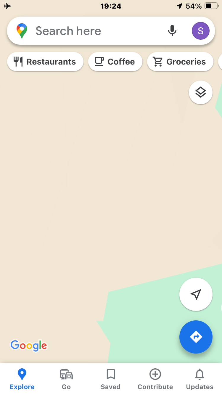
How Googlemaps sees the Old Man of Coniston!!!
Before we get into detail however, we’d like to stress the importance of having any smart phone app mapping that you may rely on DOWNLOADED to your phone so it’ll still load and work WITHOUT SIGNAL. Frighteningly, many casual walkers are still assuming that online non topographical mapping apps like Googlemaps will safeguard them in the hills!
Most mapping apps these days allow you to save portions of mapping direct to your phone’s memory (not the Cloud) – the trick is to download them in advance while you’ve got a 4G signal or WiFi. We’re still coming across folk on the hill whose mapping has disappeared just when they’ve needed it most!
Finally, it shouldn’t really need stating that phone batteries should be fully charged before setting off, a power pack with lead carried and the phone protected inside a waterproof pouch or case in wet weather.
In our opinion, two excellent apps* with an affordable yearly subscription to OS’s 1:25,000 and 1:50,000 scale maps are OS Maps and Memory Map. We find OS Maps opened on a PC or Mac browser is also the best solution to print your own map sections out – we use waterproof paper. If like Si, you struggle to read small print, then they also offer the chance to print at a large scale – 1:12,500, which makes features and names really stand out.
OS Maps shares many of the social platform features found in other apps that can be used to find routes already planned by others and also share your own favourites. Nowadays, this is an accepted method to find walks and other activities when in an area unknown to the user. Usefully, there’s a toggle switch (among other filters) that selects ‘recommended routes’ only. This provides some defence against choosing an unverified route that may show on the map but not on the ground and is worth switching on!
Like most other modern apps, when plotting your own route on screen, a ‘snap to’ feature is provided which will automatically lock onto the paths used. This can sometimes be a bit flaky and so ‘snap to’ can be turned off if needed or if going completely off piste.
OS Maps can’t cope with multiple way points or routes so is of less interest to a technical user. But it’s simple to use, robust in the field and good value.
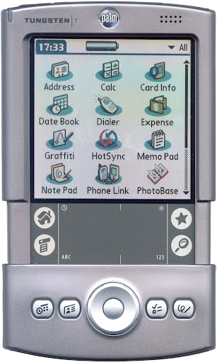
Memory Map software has been a thing since the early millennium – we started selling it on CD for use on PC’s for planning purposes. Our first ‘portable’ usage was when Si used it on an early Palm Tungsten T2 (remember them?) device on a Mountainfeet off piste ski course in the Alps. Since then, the software has evolved for use in the current generation smart phone apps but has stayed true to its upper end technical roots. This might alienate it from the younger mass market but make it a better choice for a ‘power’ user. It’s a little harder to get your head around than the less technically featured apps but if you’re prepared to learn then it’ll repay in spades on the waypoint and route plotting front. Memory Map have also employed some clever trickery to sharpen bitmap mapping such as OS and IGN which allows clearer zooming for those with eyesight issues.
Memory Map offer a huge database of map types – in addition to topographical land maps of the UK, Europe, North America, New Zealand and Australia, there are also UK marine charts available too.
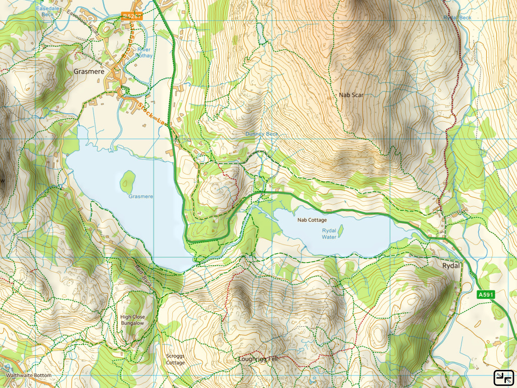
Example of free mapping – click to enlarge.
Another app we use regularly is the lesser known UK Map which has a once only cost of £9.99. Since 2010, Ordnance Survey have released a large amount of their map data under a free “OpenData” licence. These free maps cover the whole of the UK and can be downloaded and read via the UK Map app. Very usefully, the app also has superimposed footpaths derived from Open Street Map data although these won’t necessarily be legal rights of way. It’s much more of a serious navigators tool than OS Maps and more complicated to use, but once mastered it’s very useful for those on a small budget. However, there’s no mapping offered for outside of the UK and should you want to upgrade to pukka OS maps, you’ll have to purchase them – there’s no subscription option. The issue here is that you won’t get updates to your mapping as with the other products featured here. You may think there’d be little change in the rural landscape that needs re-plotting but think about woodland and forested areas that can change drastically in even five years! There’s no social platform or opportunity to share your routes with the masses – this is a bare bones but effective tool of the trade authored by a technical enthusiast. Route planning in app takes a bit of mastering – like several other features it’s not intuitive and the file handling system still has us beat! But for importing pre created GPX files it works brilliantly and many times it’s our go to app…
If you’re somewhere other than the UK, then your best bet is likely to be the Outdoor Active app which covers a surprisingly large area of the world with maps of various detail. This app has enjoyed huge investment to allow its development and is used all over the world. UK users may remember it in a previous incarnation as ViewRanger which was revered by many and used by outdoor professionals and mountain rescue teams. Some of the technical functionality seems to have been dumbed down in favour of attracting a younger and more socially orientated user base. There’s no denying that it provides a valuable and instant resource when visiting new places but customers should take care to validate route information submitted.
The Buddy Beacon feature that existed on ViewRanger has thankfully been rolled out in Outdoor Active too. Provided you have a paid subscription you can share your whereabouts with others – a valuable safety aid provided you’ve got phone signal.
Outdoor Active has three levels of subscription and can be used in a very basic format for free. But to unlock national topographic mapping and the full Pro+ feature set you would need to pay £54! However, for most users the £27 Pro package would be perfectly adequate and affordable…
HiiKER mapping screen.
*As a relatively recent postscript, a new kid on the block has arrived called HiiKER which offers mapping for both the UK and abroad. This app is authored by an Irish company and has real promise to deliver a product reminiscent of the much missed ViewRanger package which was superseded by Outdoor Active. The HiiKER team seem receptive to feedback and are very proactive with regard to improvements, upgrades and constant evolvement of their product. While embracing the now necessary social platform and route sharing options, the software is capable of more complex actions for advanced users. After speaking to one of HiiKER’s developers, it would appear that they share the professionals viewpoint that there’s a niche for a more ‘pure navigation’ orientated app to compliment the myriad of others that seem primarily to just deliver set and shared routes…
HiKER is subscription based and there are various offers currently popping up via social media offering first year deals. A really useful safety feature is the ability to share your track and location with others – we’ve tested this recently and it works well. OK, if you lose signal then tracking will cease while there’s no coverage, but should a drama occur then emergency services or your nearest and dearest will have your last known fix. This is a valuable starting point for any searchers and could save the day.
Hopefully, you’ll now have an idea of both the value of digital mapping apps and which particular one might suit you best. If you’re a mountain professional or tech aficionado then you might like to subscribe to a couple or more before making your mind up. In practise, we find ourselves switching between two or three packages depending on our needs. Don’t underestimate the value of the basic mapping that many apps provide as these can often detail paths derived from Open Street Map or similar data sources that aren’t mapped onto Ordnance Survey maps. We will often flick between the two during the course of a day or while planning an activity.
Below are links to the five apps mentioned above. Go enjoy…
 There seem to be many of you out there who are embracing again the art of navigating using map and compass techniques. We find that one of the hardest skills to master is the visualisation of the terrain around us using just contour information from the map.
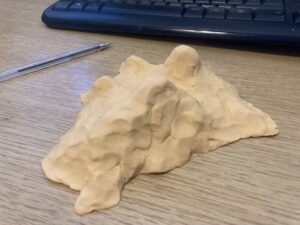 Top tips, start simple – maybe just a single prominence first. Then work up to more complex terrain featuring cols, spurs and re-entrants. Set a time limit but use the first couple of minutes for just looking at and understanding the 2D map first. Don’t overthink things – just a basic representation will do. Make sure you have a means to check what the contours actually look like in real life – as already mentioned, OS Maps has a 3D feature.